Drone solutions are empowering efficiency, precision, and safety in AEC project execution
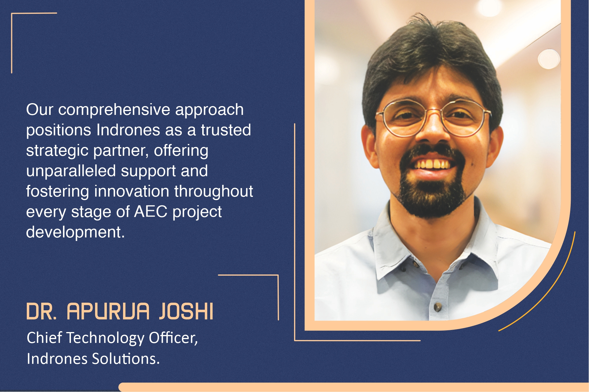


India’s architecture, engineering, and construction (AEC) industry is experiencing a transformative wave that is propelled by the integration of innovative technologies. Apurva Joshi explains how Indrones Solutions is catalysing this transformation through its advanced drone technology.
The problem
The AEC sector has long been grappling with significant hurdles because of inaccuracy in site data, safety concerns for workers, delays in data processing, and detrimental environmental effects. While inaccurate site data can lead to costly design errors and project delays, surveying large or hazardous areas increases safety concerns for workers. Additionally, slow data processing using conventional methods can impede project timelines, and construction activities are often environmentally degrading.
The drone technology
The drone technology stands out as a game-changer, offering superior efficiency, precision, and safety in construction projects. Indrones Solutions’ advanced drone technology and Eigenspace Suite, an integrated software suite, offer ground-breaking results, enabling rapid ground truthing and operational efficiency.
The Indrones advantage
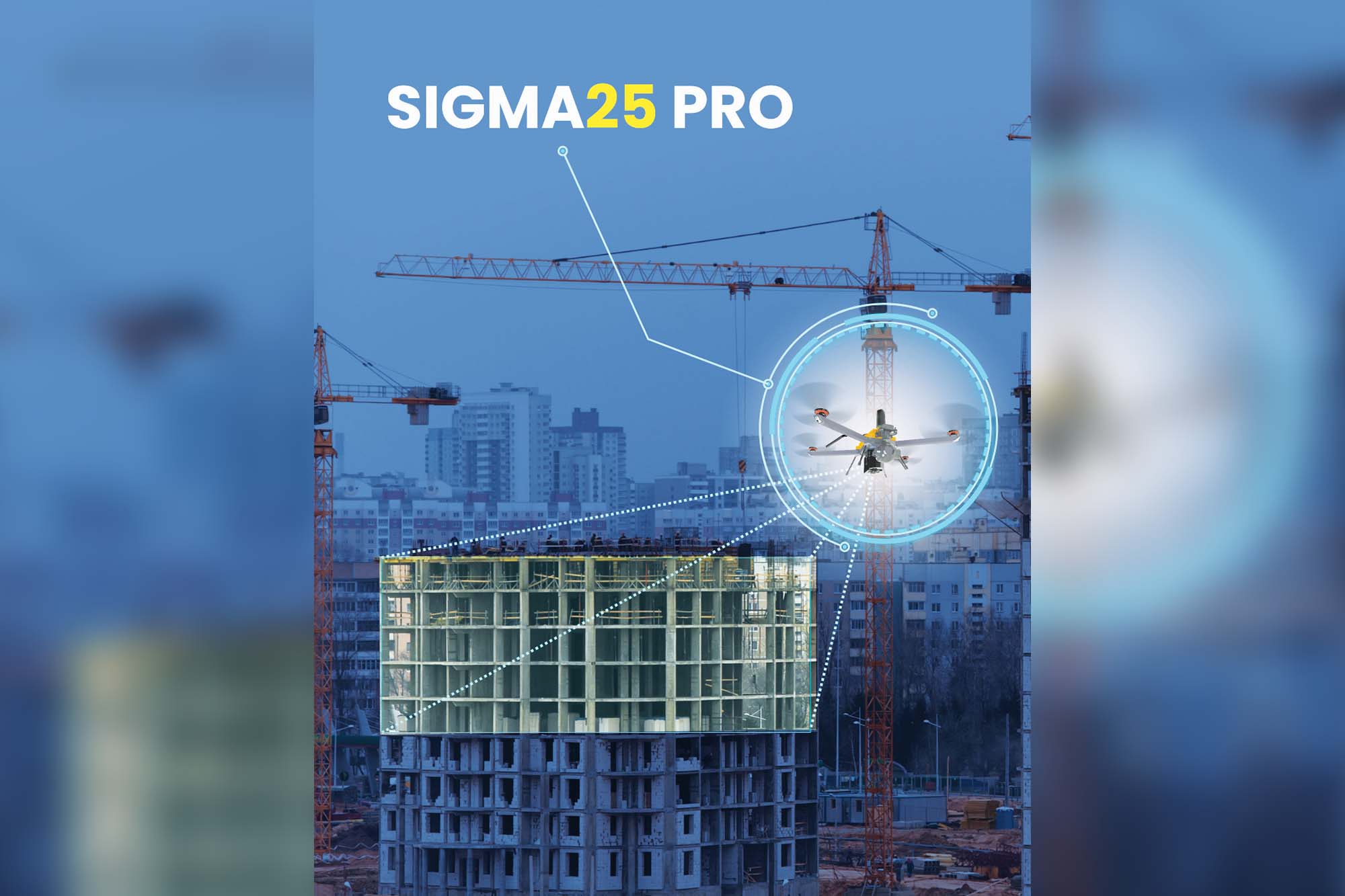
Our drones can capture accurate, high-resolution site data from multiple aerial perspectives, which helps generate detailed and precise 3D models. This feature significantly mitigates the problem of inaccuracies in site data, providing crucial site dimensions and topography for engineering and planning. Our Sigma25 drone series delivers live, bird’s-eye views of project sites via Inflight, while the Inspect software creates detailed 3D models; the ortho mosaic models allow for precise measurements of site elements.
Our drones facilitate safer and more efficient site surveys and inspections. They allow access to hard-to-reach and hazardous areas without exposing personnel to risk, minimising accident risks, promoting a safer work environment, and driving overall productivity.
Our technology significantly enhances project timelines by offering faster and more efficient means of collecting and processing site data. For example, compared to traditional surveying methods, site mapping and progress monitoring can be completed significantly faster by employing our drone technology. Ground control points and photogrammetry ensure highly precise results. The digital data captured can be integrated efficiently across all project stakeholders.
Our drones can conduct detailed environmental surveys, generating high-resolution maps and 3D models to identify potential ecological impact zones and ensure adherence to environmental regulations. This significantly helps minimise the environmental footprint of construction projects.
A collaborative approach
The successful collaboration between some of the major AEC players and Indrones is a compelling illustration of the transformative power of our technology. One of our clients, who faced the challenge of surveying a vast, newly acquired site efficiently, utilised the Sigma 25 drone and Eigenspace Suite to capture high-precision data, which enabled accurate and reliable ground truthing. This resulted in substantial reductions in both time and resource consumption.
Our readily shareable digital data provides stakeholders with a comprehensive understanding of site conditions through video and 3D models, facilitates effective site planning, and makes well-informed decisions regarding resource allocation.
For more details, visit: https://indrones.com/
Cookie Consent
We use cookies to personalize your experience. By continuing to visit this website you agree to our Terms & Conditions, Privacy Policy and Cookie Policy.


